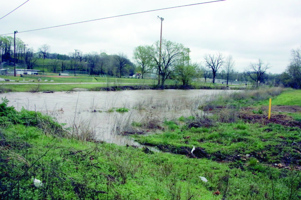
Cassville’s Greenway Trail below Highway 112 Saturday afternoon was still too flooded to traverse, as 3-5 inches of rain fell in Barry County Friday and Saturday, resulting in some flooding. The National Weather Service reported 4.25 inches in Cassville as of 7 a.m. Sunday and 3.17 inches in Shell Knob at 10:15 a.m. Sunday. As for waterways, Roaring River State Park’s height gage topped out at 3.79 feet on Saturday at 14:40 p.m. (minor flood stage), falling back below 1.25 feet by Monday morning. Discharge went from just over 30 cubic feet per second prior to the storm to 837 CFS at 10:25 p.m. on Friday, dipping slightly before rising to a peak of 1,690 CFS at 12:35 p.m. on Saturday. The gauge at Flat Creek below Jenkins showed a rise from 3.65 feet to 12.69 feet at 2 a.m. on Saturday, dropping off and peaking again at 12.84 feet at 4 p.m. Saturday (moderate flood stage), also the highest period of flow at 7,682 CFS. Kyle Troutman/ktroutman@cassville- democrat.com
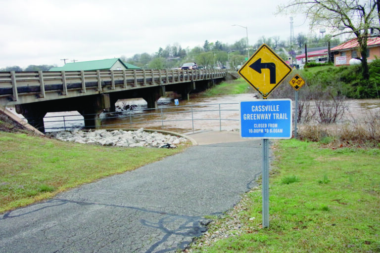
A storm system Friday and Saturday dropped 3-5 inches of rain across Barry County Friday and Saturday, resulting in some flooding of low-lying areas. David Compton, Barry County Emergency Management director, said on Saturday Highway U east of Butterfield and Highway C east of Purdy were both closed due to water over the roadway. In Cassville proper, City Administrator Richard Asbill said 14th and County Farm Road was closed temporarily Friday afternoon and the early morning hours Saturday, possibly as a result of debris in a culvert or gravel buildup. Asbill said the city will be assessing the channel this week in drier weather. This photo shows Flat Creek at 7th Street on Saturday at 1:40 p.m. The city is pursuing a new bridge at the location after the previous bridge was damage beyond repair as a result of flooding in 2017. Kyle Troutman/ktroutman@cassville-democrat.com